Gunlock Reservoir State Park
Near St. George, Utah
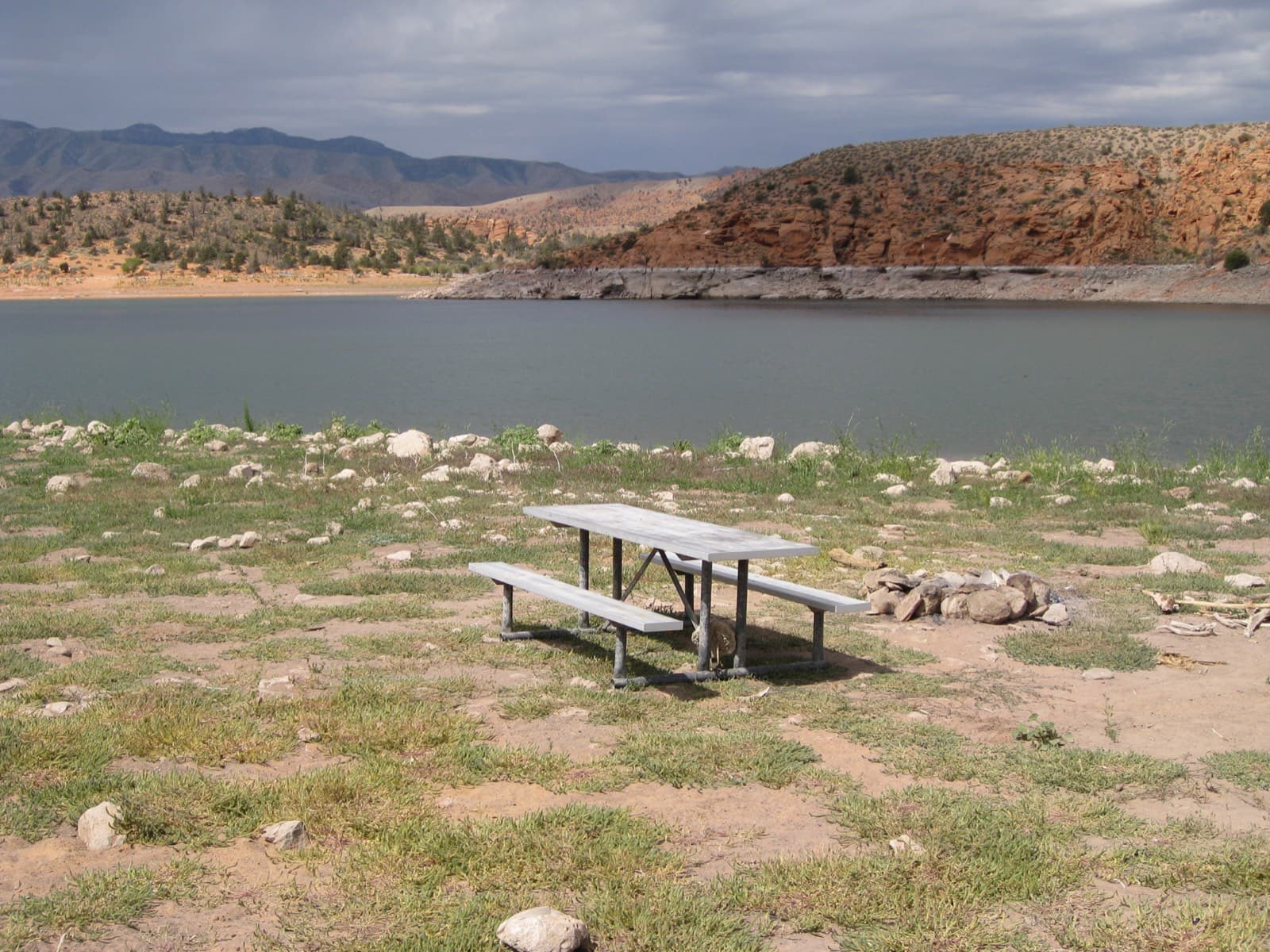
Photo: Thure Johnson, CC BY 2.0 via Wikimedia Commons
About Gunlock Reservoir State Park
Gunlock Reservoir sits in a scenic red rock canyon northwest of St. George, offering swimming, boating, and fishing in the southern Utah desert. The reservoir's clear blue waters contrast beautifully with the surrounding red sandstone cliffs. Several sandy beach areas provide easy water access for swimming. The warmer climate here extends the swimming season compared to other Utah locations.
Access & Directions
Located about 15 miles northwest of St. George via Highway 18 and the Gunlock Road. The state park has developed facilities including restrooms and boat ramps. Day-use fees apply. The reservoir level fluctuates based on irrigation demands.
Safety Information
No lifeguards on duty. Check water levels before planning swim activities as the reservoir level varies. Watch for boats in swimming areas. The sun is intense—use sun protection.
Best Time to Visit
Late spring through early fall. The southern Utah location means warmer temperatures and a longer swimming season. Summer can be very hot—early morning or late afternoon visits are pleasant.
Nearby Swimming Holes in Utah
 River
Santa Clara River Reserve
Ivins
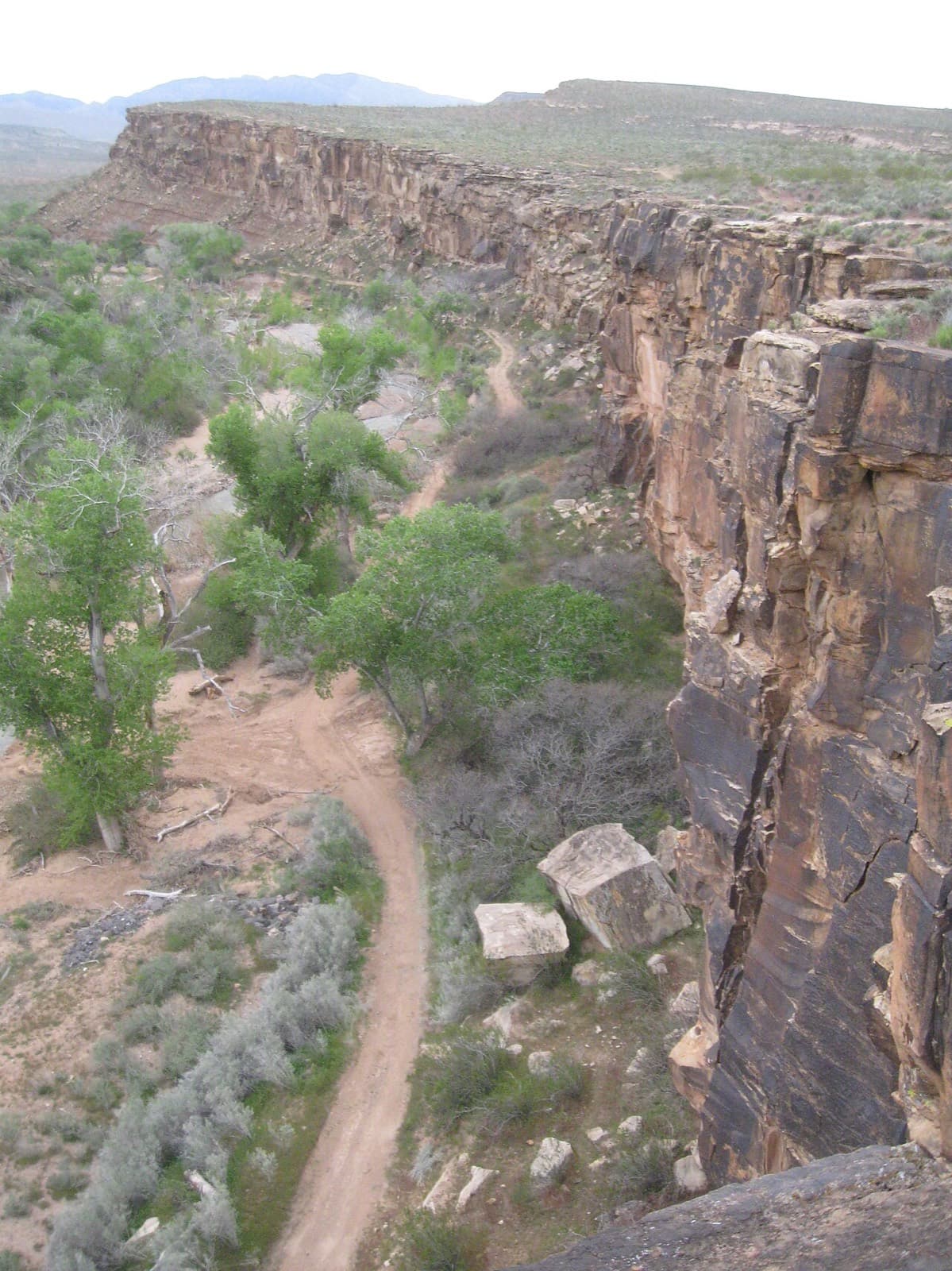
The Santa Clara River Reserve protects a stretch of the Santa Clara River near Ivins and provides swimming access in a natural desert setting. The per...
Photo: The Dye Clan, CC BY-SA 3.0 via Wikimedia Commons
 Creek
Red Cliffs Recreation Area
St. George
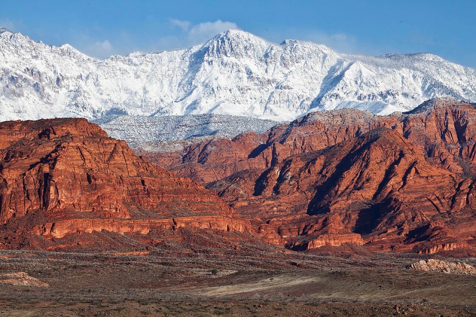
The Red Cliffs Recreation Area features Quail Creek flowing through a beautiful red rock canyon north of St. George. Several swimming holes along the ...
Photo: Bureau of Land Management, CC BY 2.0 via Wikimedia Commons
 Reservoir
Quail Creek State Park
St. George
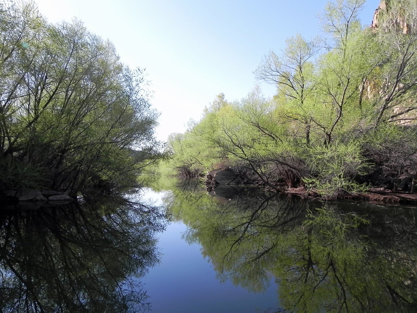
Quail Creek Reservoir offers some of the warmest water swimming in Utah due to its southern location and relatively shallow depth. The blue-green wate...
Photo: Fredlyfish4, CC BY-SA 4.0 via Wikimedia Commons
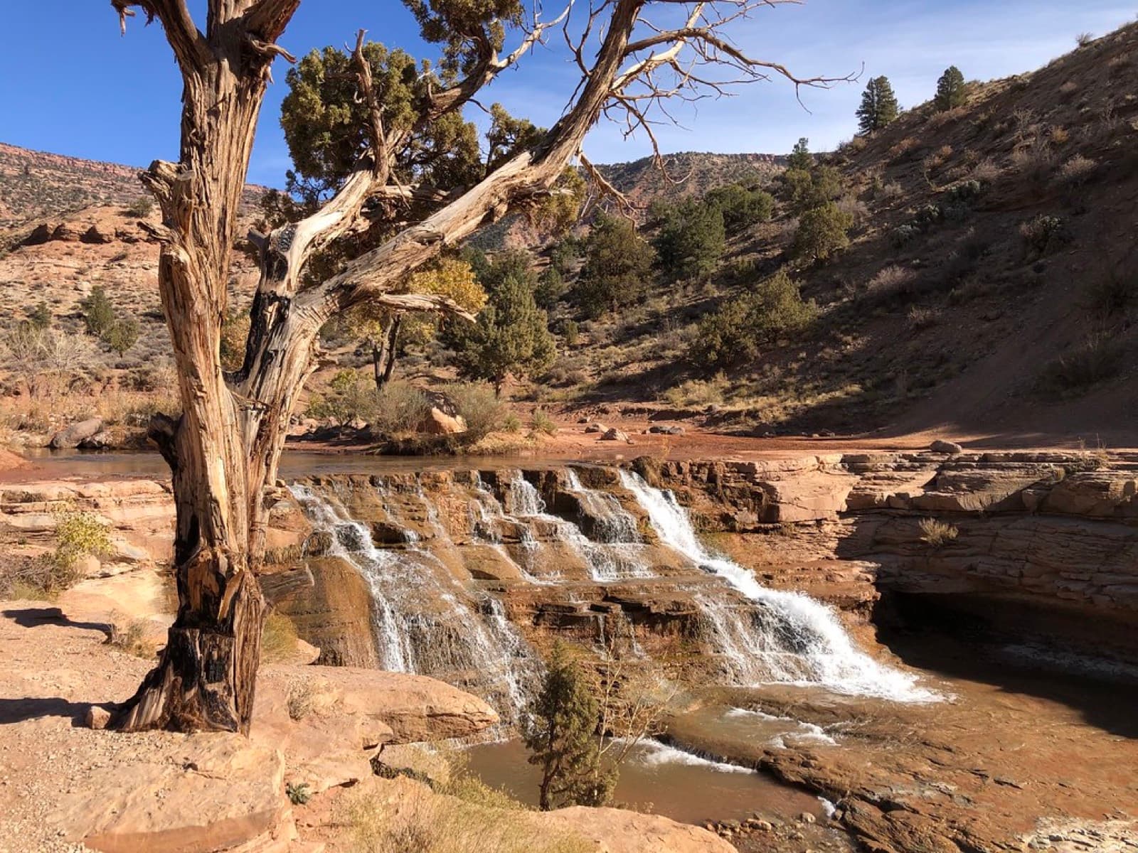 FeaturedWaterfall Pool
Toquerville Falls
Toquerville
Toquerville Falls is a scenic waterfall and swimming hole tucked away in the red rock country of southern Utah. La Verkin Creek cascades over red sand...
Photo: The Greater Southwestern Exploration Company, CC BY 2.0 via Flickr
Looking for more swimming spots?